Vacantland
()
155 Tower Rd, Roan Mountain, TN 37687
FOR SALE
Price: $169,000
List Date: 2026-05-13
DOM:
0
City Tax: $0 County Tax: $345
City Tax: $0 County Tax: $345
Lot Size: 6.32 acre(s) Lot Dimensions: Irregular Land Type: Residential Permitted: Livestock, Site Built, Poultry, Modular, Manufactured Home
Water & Sewage: WellUtilities Available: Electricity Connected, Water Connected, Sewer Connected
Description
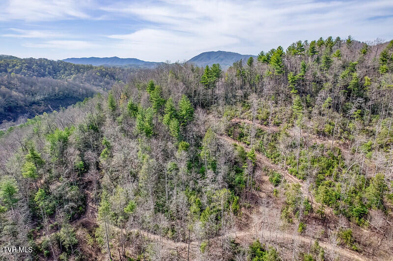
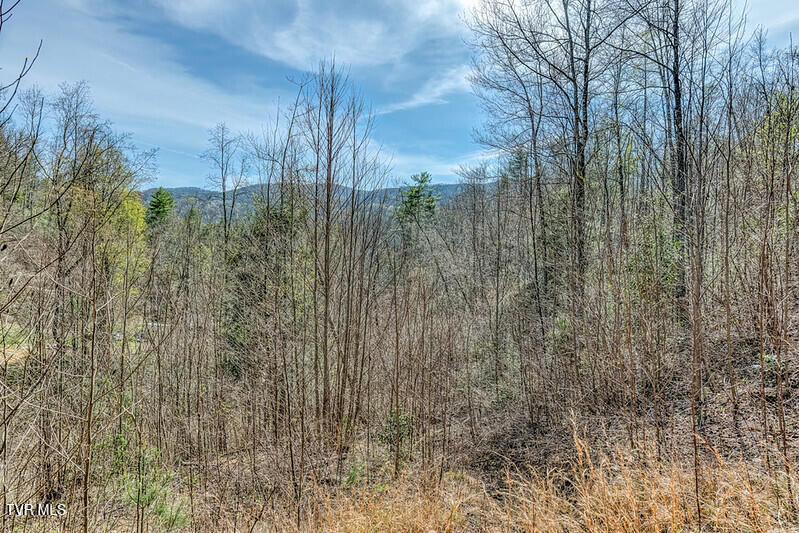
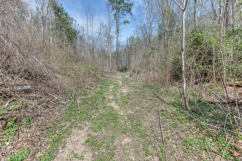
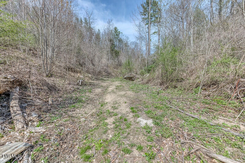
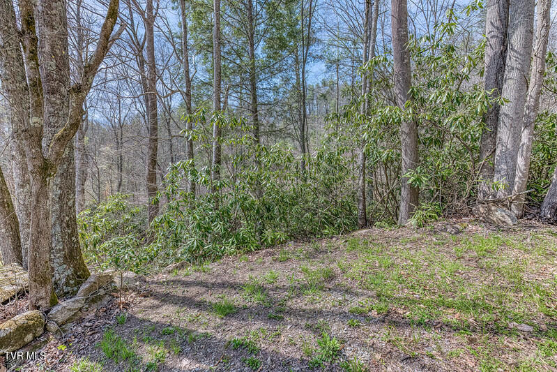
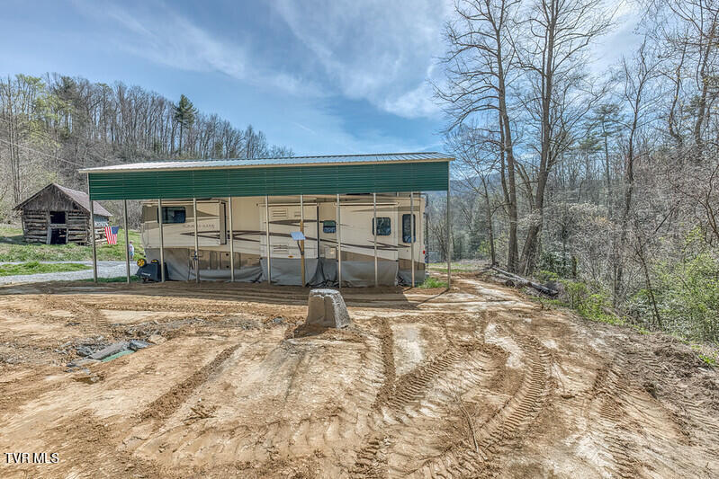
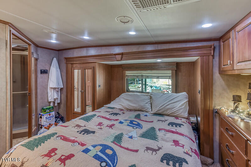
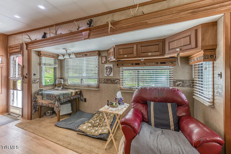
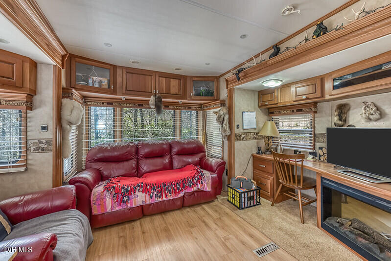
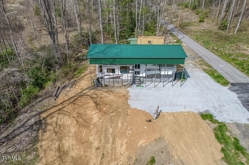
Nestled in the heart of the mountains of beautiful Carter County, this remarkable 6.32+/- acre property offers the perfect blend of privacy, history, nature, and adventure. Located on a quiet dead-end road with virtually unrestricted use, this cleared and gently rolling property is ready for your mountain getaway, vacation retreat, RV destination, or future dream home. A peaceful bubbling creek welcomes you at the front of the property while wooded acreage toward the back provides additional privacy and the true feel of East Tennessee mountain living. The property is already equipped with electricity, a well for water, and two septic systems, making it ready to enjoy immediately. Included with the sale is a luxury 2011 Carriage Carri-Lite fifth-wheel camper, creating an ideal turnkey setup for weekend escapes, seasonal living, or full-time mountain life. Known for its quality craftsmanship and designed for comfortable full-time living, this spacious camper features luxury finishes, insulated slide rooms, large holding tanks, and generous living space. Outdoor enthusiasts will appreciate being within walking distance to excellent fishing spots along the river, while the nearby Cherokee National Forest offers endless opportunities for hiking, wildlife viewing, ATV riding, and exploring the mountains of Northeast Tennessee. At the end of the road sits historic Big Nance Ridge Mountain, rising to approximately 3,740 feet in elevation near Roan Mountain. This area is deeply rooted in Appalachian history and natural beauty. Big Nance Ridge is famously connected to the historic ET&WNC Railroad, better known as the ''Tweetsie,'' where engineers carved massive cuts through the mountain terrain during the late 1800s to connect local iron mining operations. The area also lies along the path traveled by the legendary Overmountain Men during the Revolutionary War as they marched toward the pivotal Battle of Kings Mountain in 1780. The surrounding ridges and forests later became
Community Information
- Geographical
- County: Carter
- Subdivision: Not In Subdivision
- Zoning: Residential
- School System
- Cloudland Elementary
- Cloudland Middle
- Cloudland High
Interior
Exterior
Photos


Listing by
Century 21 Legacy